From Milan, you can reach Lecco via the SS 36. After the tunnel, turn right onto the Valsassina motorway. Once you have passed the Balisio Pass, you will reach Barzio; follow the signs for the cable car, where there is a large car park.
Introduction
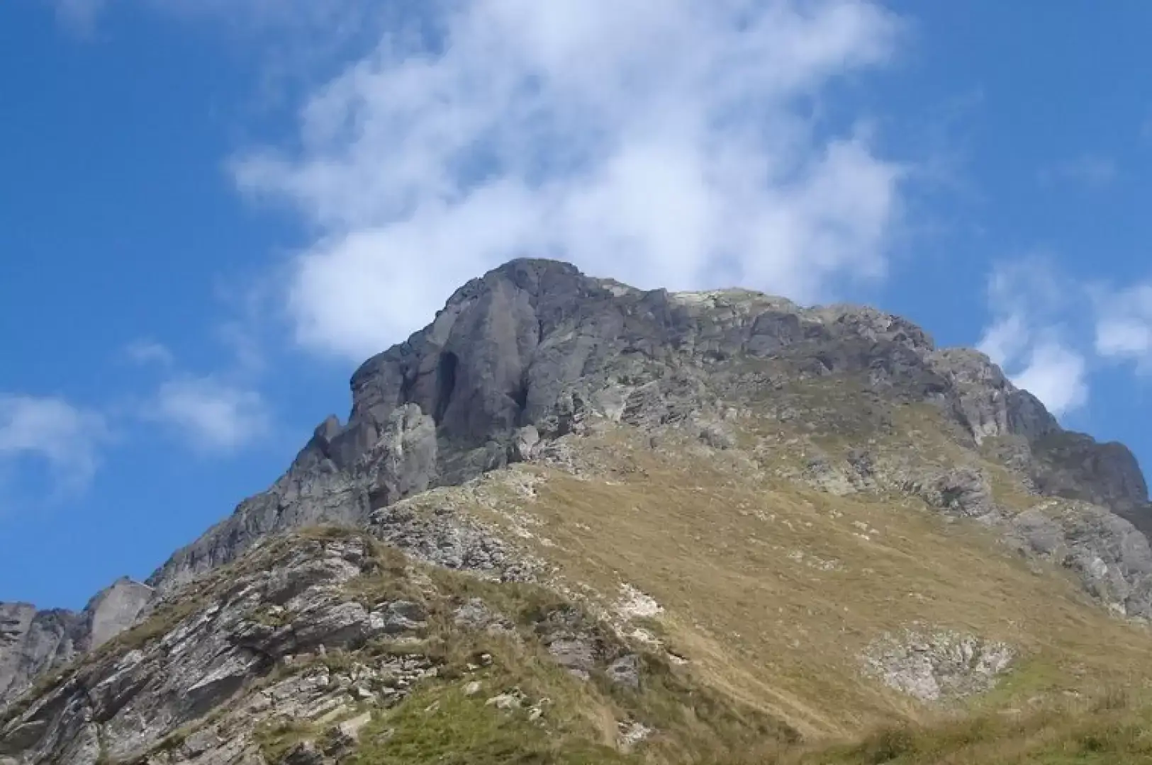
The Pizzo dei Tre Signori is the mountain that overlooks the north-eastern part of Valsassina. It owes its name to the fact that it lies on the borders of what were once the State of Milan, the Republic of Venice and the Valtellina, which was occupied by the Grisons.
Description
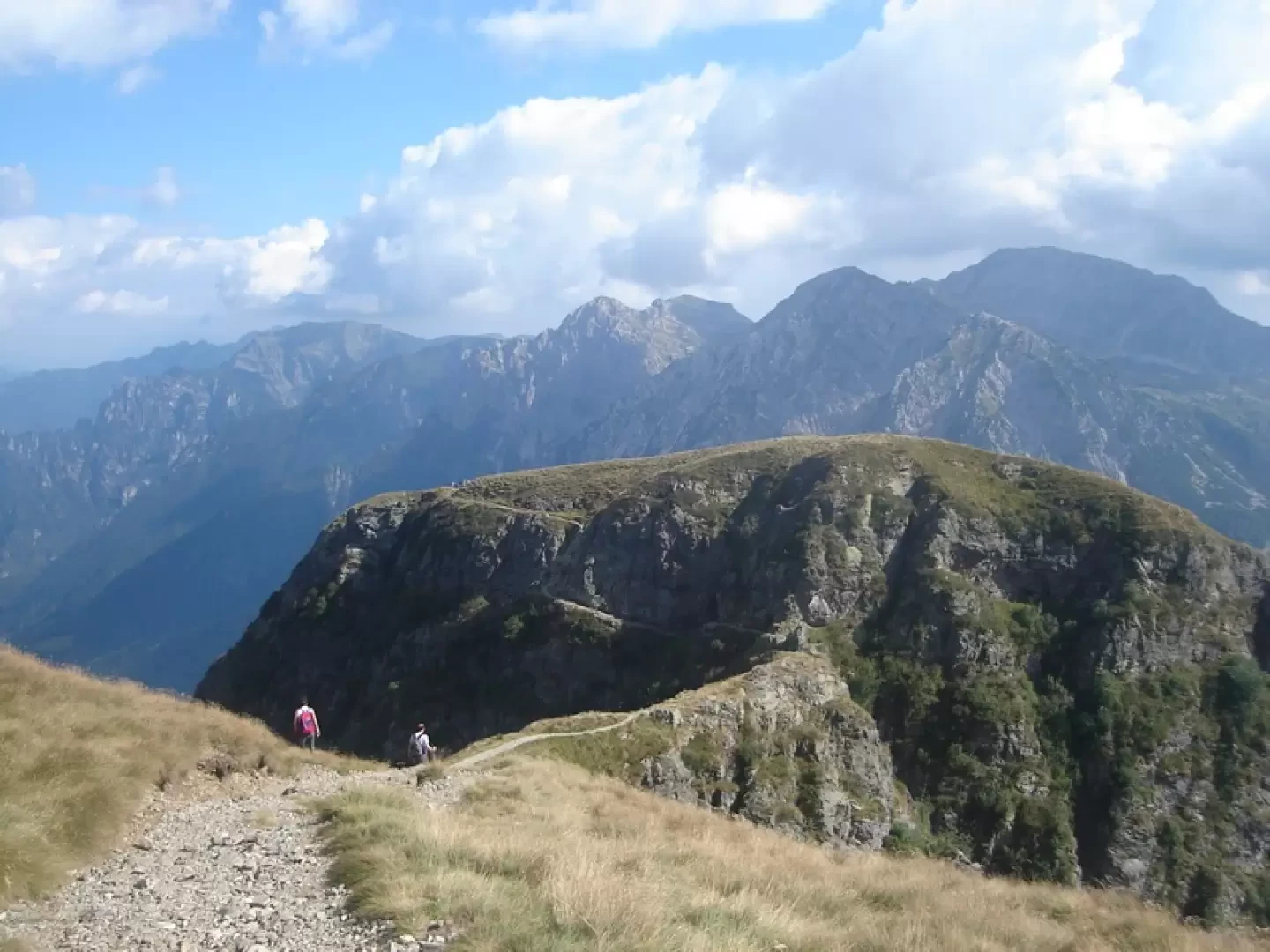
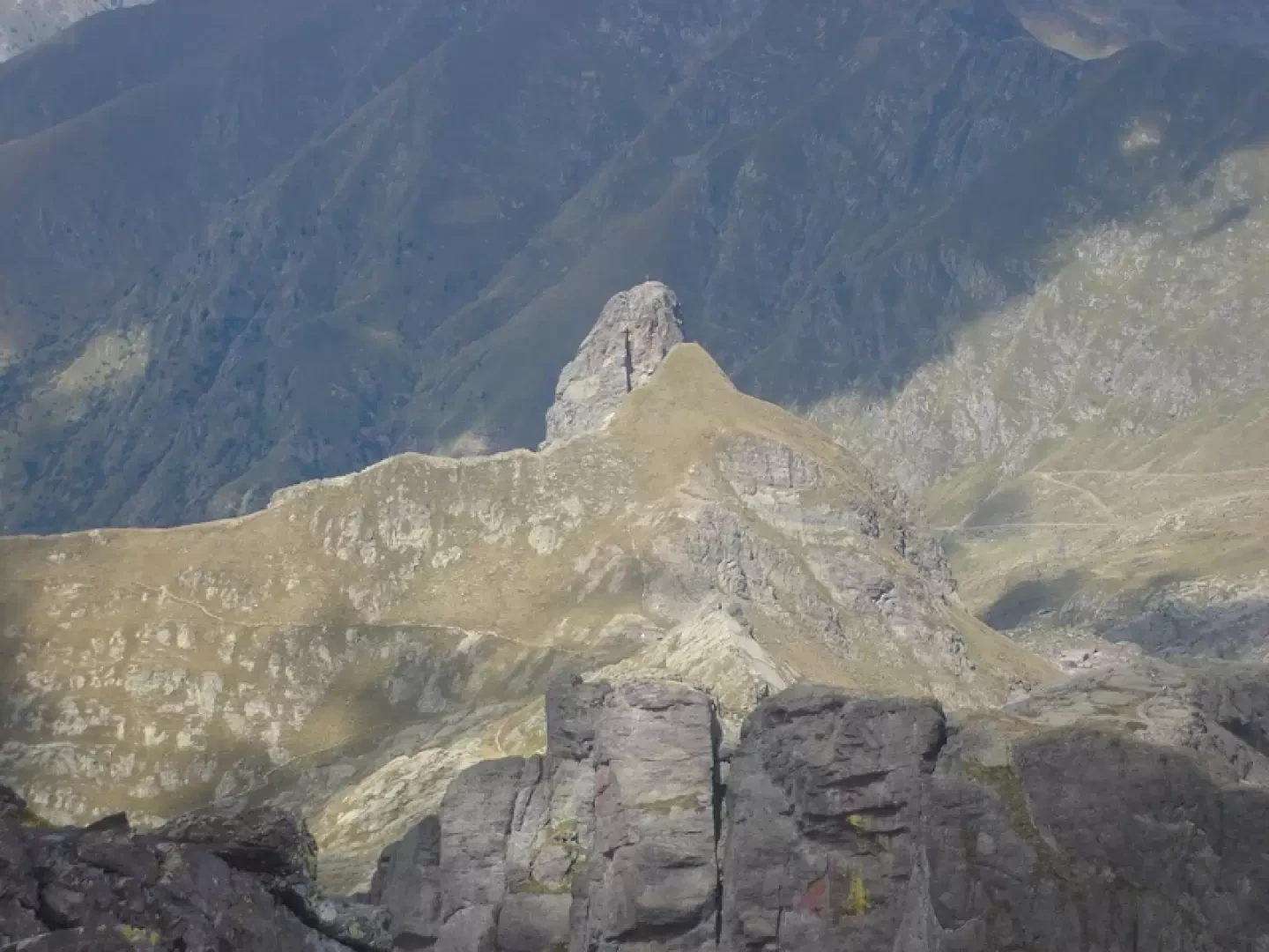
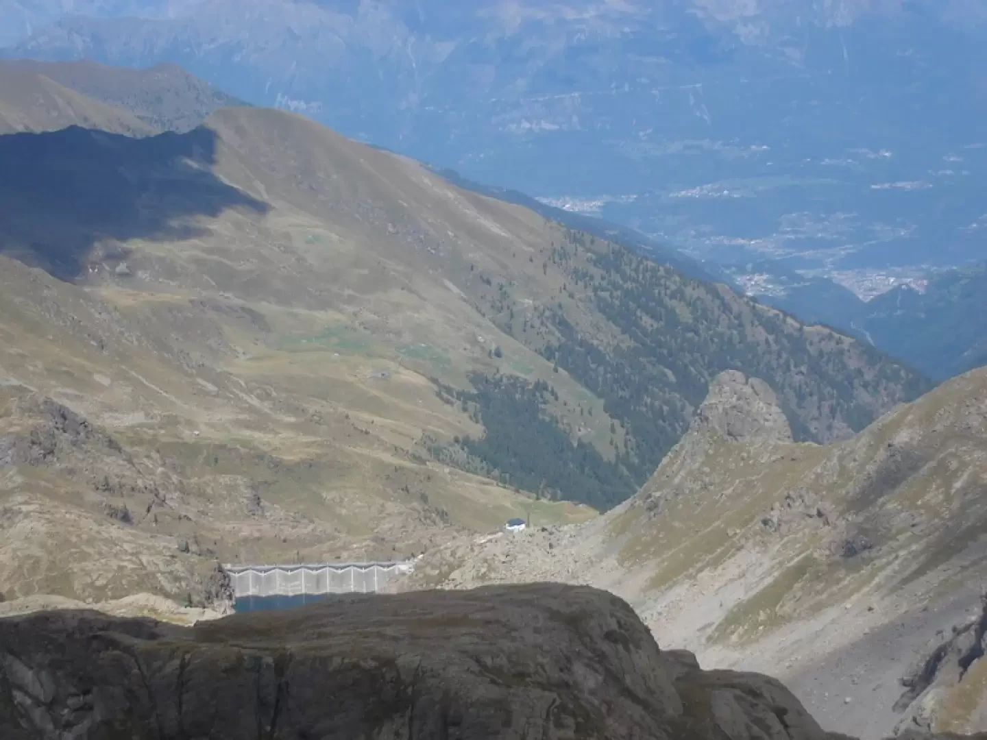
From the car park, follow the signs for Piani di Bobbio along a dreadful dirt track which, together with the ski runs, has ravaged the environment. If the cable car is running, you’re well advised to use it without a second thought, saving yourself, amongst other things, two hours and 800 metres of elevation gain. From Piani di Bobbio, turn left onto the footpath or farm track towards the Grassi hut. You’ll pass the Cedrino and Gandazzo passes, before climbing steeply up the slope (spring) leading to Zucco del Corvo; to the right of this, you’ll cross an exposed ledge (take care in snowy conditions) leading to the Passo del Toro, ““hewn into the rock, straddling two deep and precipitous valleys”. The ledge can be avoided by climbing to the summit of Zucco del Corvo and descending along a ridge before the Passo del Torno. The route continues for some time without gaining altitude until reaching the Bocchetta di Foppabona, from where the refuge can be seen. The path now descends, winding beneath the Zucco Valbona to reach the Grassi hut, 1,987 m (two hours from Piani di Bobbio).
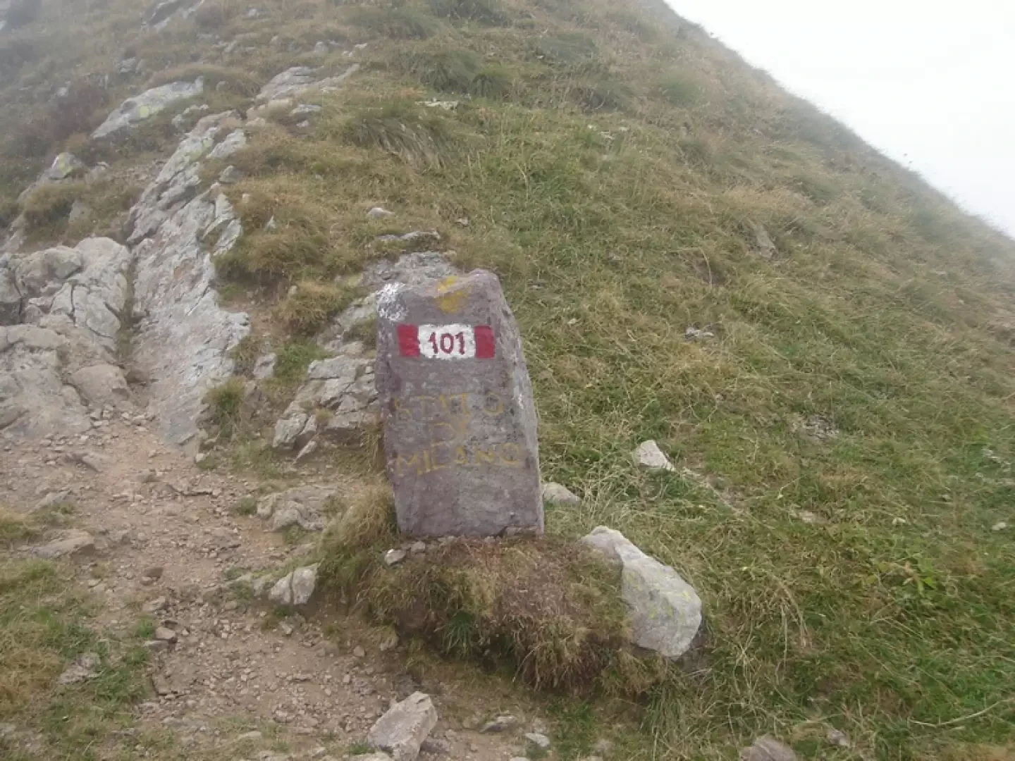
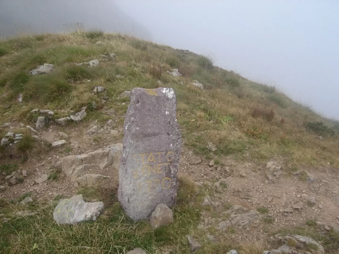
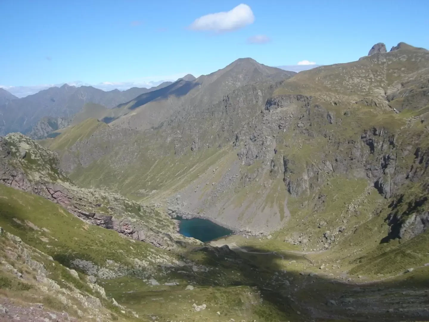
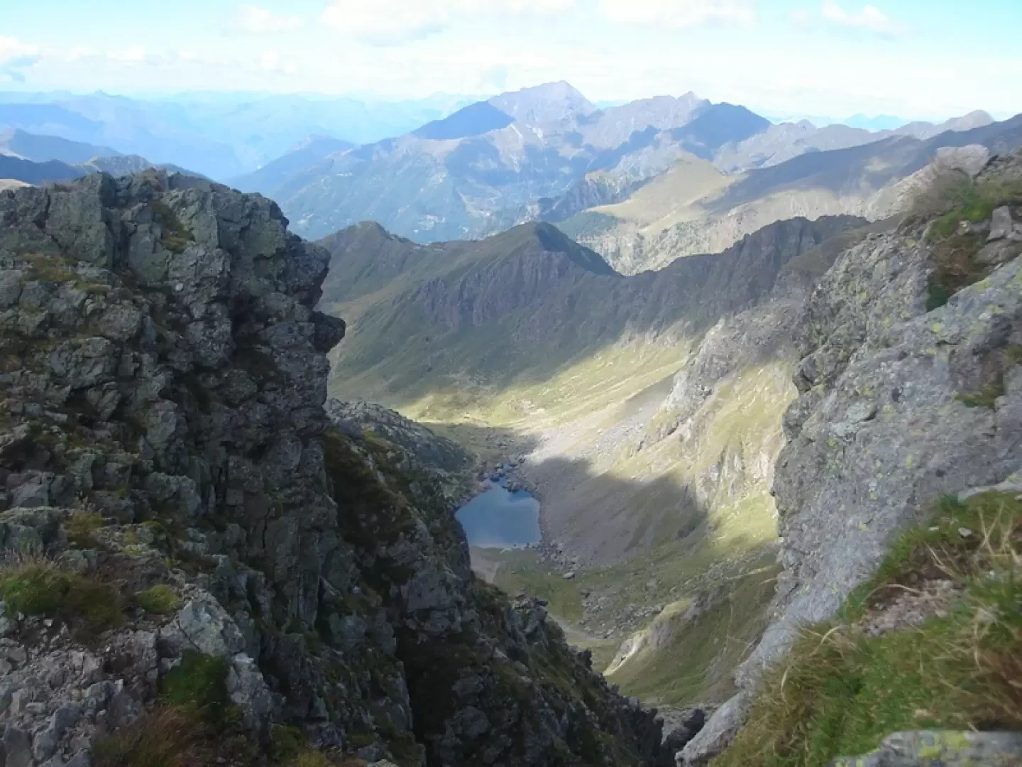
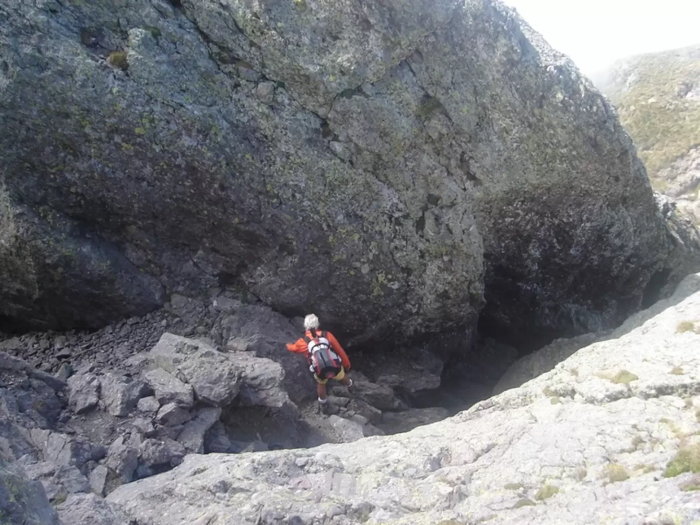
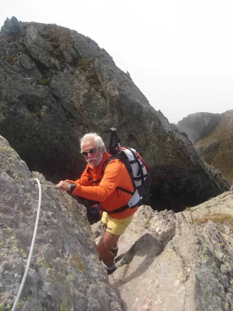
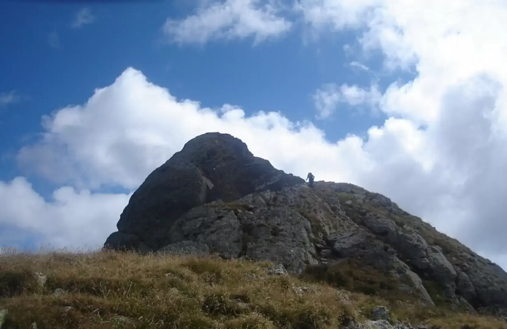
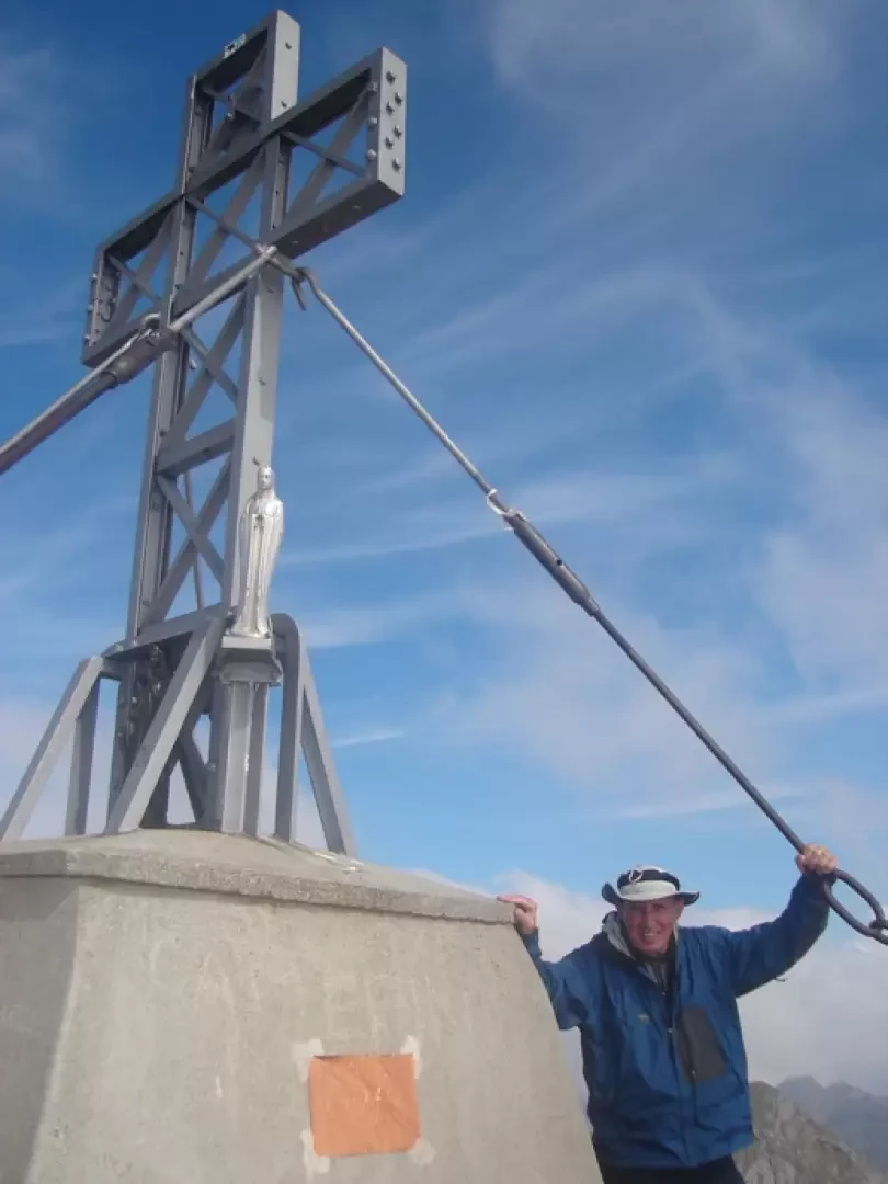
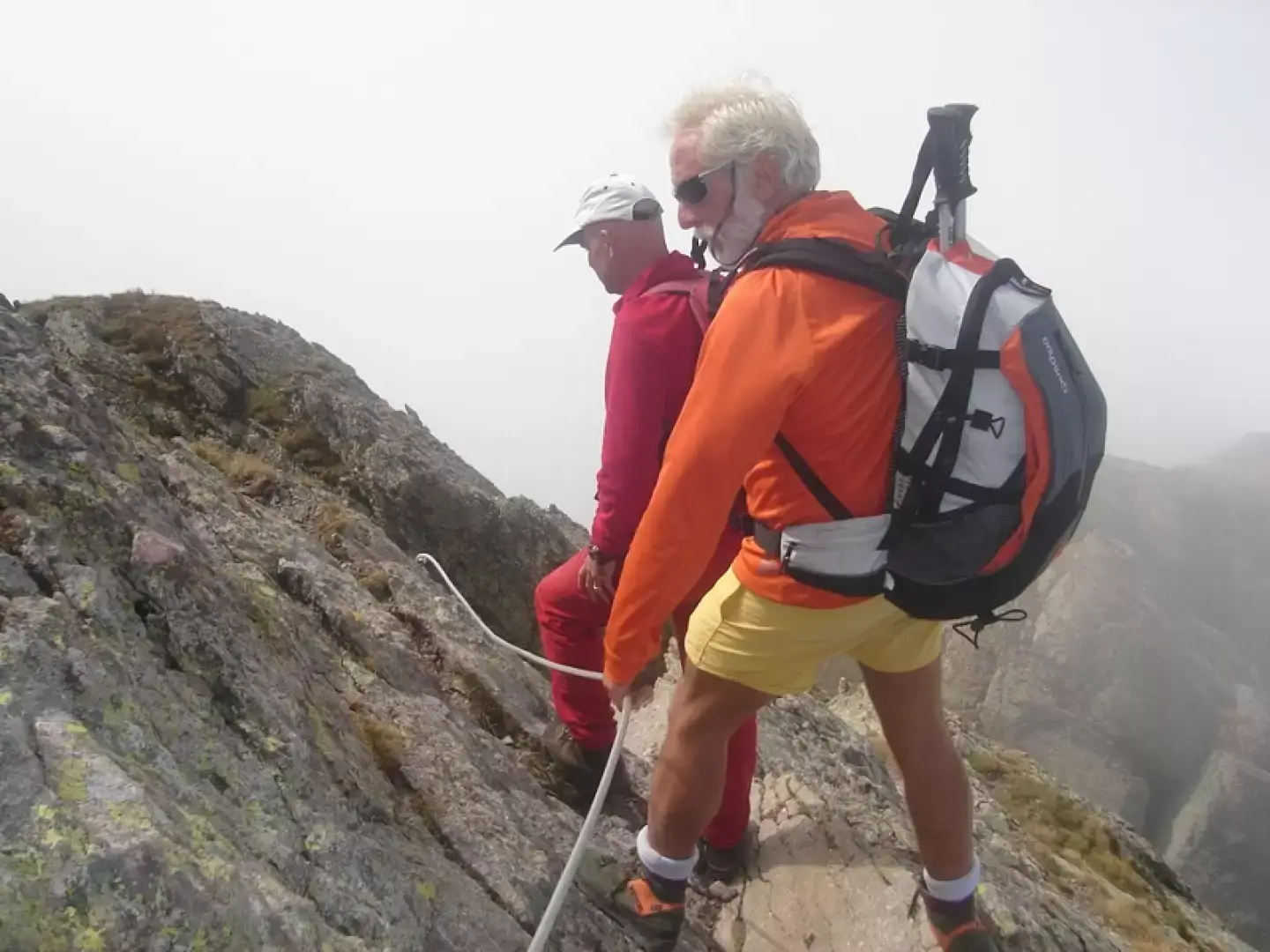
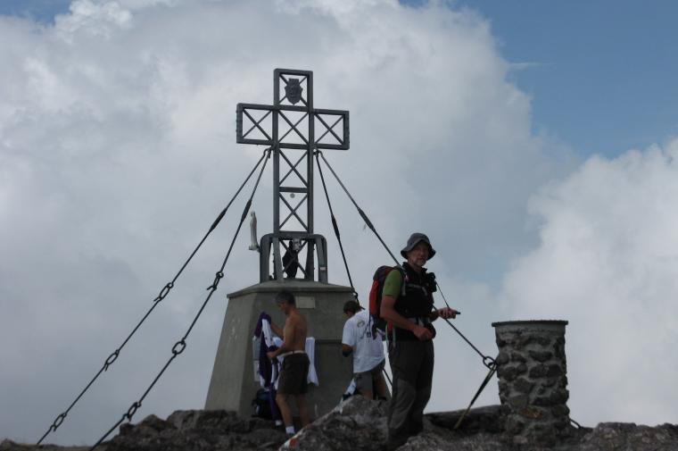
From the Grassi refuge, follow the path marked , following the ridge overlooking the Val Biandino. Climb over a small peak with the aid of fixed ropes to reach the “Piano delle Parole” (Signpost) formerly known as “Pian di sass”, pass a boundary stone marking the border between the States of Venice and Milan, and reach the junction for the Benigni refuge. There is a fine view over the Val Biandino and Lake Sasso. Climb to the left, with the aid of fixed ropes (though not essential – the route is passable anywhere), until you reach the western ridge, from where the summit is visible. Within a few metres, you reach the entrance to the “Caminetto”, a fairly gentle gully that is easy to traverse. At the exit, via a small ledge and some rocky outcrops – exposed but very easy (fixed ropes) – you reach the secondary summit; descend to a small saddle and climb up to the large summit cross. Two hours from the refuge.
Bella gita con diverse contropendenze. Da evitare la domenica per il solito traffico di rientro per chi proviene da Milano/Lecco. Eravamo indecisi sino all'ultimo per la salita finale in vetta (dal Rifugio FALC) a causa del tempo che minacciava pioggia; poi il coraggio è stato premiato con una schiarita sempre più ampia. Solita confusione numerica dei sentieri; in ogni caso le numerose paline e le scritte sui sassi (molto frequenti e, forse, un pò troppo invadenti)portano alla destinazione voluta. Sulle rocce finali le bandierine bianco-rosse tracciano con precisione la via, molto utili in caso di scarsa visibilità.



Comments (0)
Sign in to leave a comment